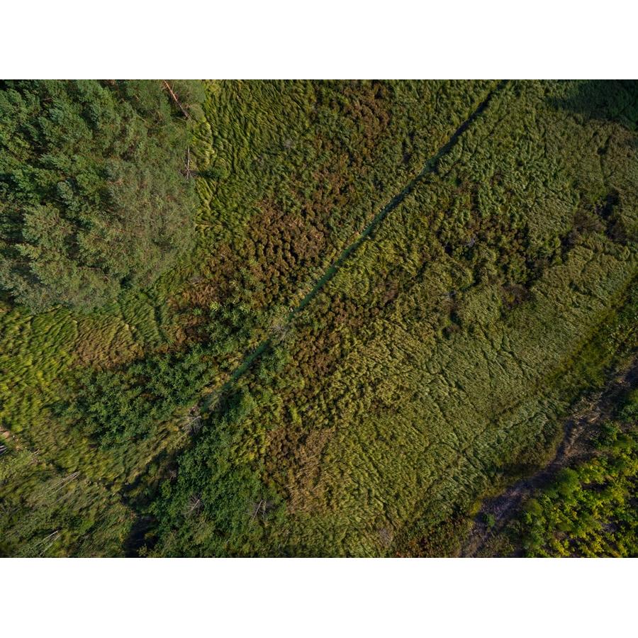
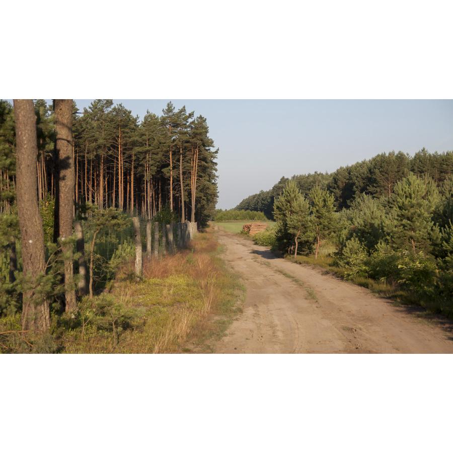
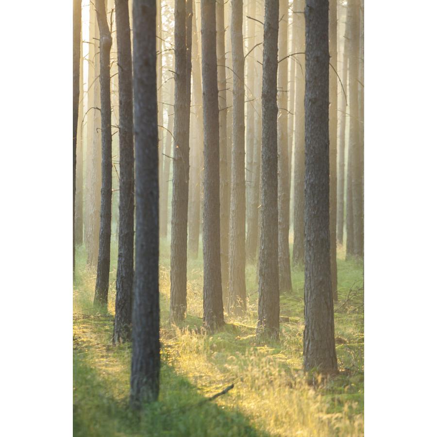
The area administered by Sława Śląska Forest District includes a network of hiking trails allow hiking and cycling as well as canoeing.
A brief description of the trails:
- The green trail: Sława - Głuchów Jodłów Józefów Świętobór - Konotop. From Sława to Tarnów Jezierny the trail leads through the shores of two lakes Sławskie Lake District: Tarnowskie Małe and Sława. The trail leads through the western edge of Sławskie Lake District next to several lakes and through large forest areas. In summer perfect for bathing and in the autumn gathering mushrooms. The area has varied landscape. For cyclists the trail is quite difficult (approx. 26 km).
- The yellow trail: Sława Radzyń - Jeziorna - Mesze - Lubiatow - Ciosaniec. Nature reserves on the trail: "Mesze" and "Święte Lake". A long trail, leading among the lakes of the west end of Sławskie Lake District. (approx. 30.0 km)
- The blue trail: Przemęt Landscape Park - Świętno - Rudno - Wilcze, further in the direction of Babimost.
Bike trails
The area of the Forest District is full of bike trails. Tourists willing to experience the nature of the forest from their bikes can use the already designated trails:
- Nowa Sól - Siedlisko - Sława bike trail
- Route: Nowa Sol - departure Wolności Avenue Przyborów Siedlisko Piękne Kąty Różanówka Bielawa Grochowice Krążkowo Lipinka (in total Nowa Sol - Fame 36.5 km; time 2 hr. 40 min.). Return: Sława Radzyń Borowiec Siedlisko Przyborów Nowa Sol (Sława - Nowa Sol approx. 30.5 km, time 2 hrs.)
- Przewóz – Pyrnik – Konotop bike trail
- Bike trail Wschowa - Buczyna (approx. 4 km) - crossroad in the forest (approx. 8 km) - parking lot at the end of the forest before Lgin (approx. 10.3 km) - the beach at the lake in Lgin (approx. 11.8 km) - the lake near Nowe Strącze (approx. 17 km) - Przylesie (approx. 20 km) - Przybyszów (approx. 24 km) - the market in Sława (approx. 28 km). The trail leads from Sława to Lubiatów (time approx. 38 km).
- Siedlisko-Sława bike trail
- Przewóz – Pyrnik – Konotop bike trail
- Wschowa- Sława – Lubiatów – Radzyń – Sława bike trail
- Green trail –Sława – Tarnów Jezierny – Konotop,
- Yellow trail - Sława - Zwierzyniec educational trail– natural reserves Mesze and Święte – Droniki towards Świętno,
- Blue trail – Przemęcki Landscape Park – Świętno – Rudno – Wilcze towards Babimost,
Bike and hiking routes in the Tarnowo Forest
Kayaking trails.
Due to the number of lakes and numerous connections with waterways in the region of Sława Śląska Forest District it is possible to practice canoeing. Tourists can freely plan their rallies and take advantage of the featured and developed routes:
1. Sława, around Sławskie Lake (approx. 21km);
2. Sławskie Lake, Lake Błotne, Lake Tarnowskie, Sławskie Lake (approx. 15km);
3. Cienica – Sławskie Lake – Obrzyca (approx.17 km);
4. Sławskie Lake the River Obrzyca Rudno Lake South Channel of River Obra Kaszczorski Channel Wieleńskie Lakes (approx. 48 km).
Calendar of events
Latest articles

Latest news
Contact us
Nadleśnictwo Sława Śląska
ul. Niewidziajły 1A
67-410 Sława
tel. +48 68 356 62 29
fax. +48 68 356 62 29


